
Drone Solar Site Design and Mapping
Use drone solar site mapping for orthomosaics, terrain and layout planning. Learn which survey outputs designers need and what needs field verification.
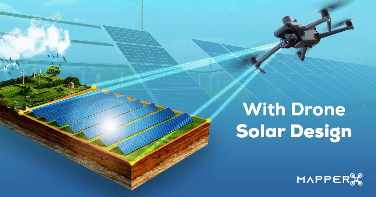
Drone solar site mapping supplies aerial imagery and surface models for PV layout planning. Designers use these outputs to assess visible obstacles, site geometry, slopes and potential shading. A drone survey supports engineering decisions; it does not install panels or replace structural, geotechnical, electrical or solar-resource assessment.
How Drones Support Solar Site Design and Mapping
Drones are unmanned aerial vehicles equipped with high-resolution cameras, sensors and mapping capabilities. The key roles drones play in solar energy systems;
Site Analysis and Solar Potential Identification
Aerial imagery can map visible site features and support assessment of terrain and obstructions. Estimating solar potential also requires location, solar-resource data, orientation and shading analysis. A single flight cannot measure annual solar availability or identify the optimal design by itself.
Sun-Path and Shading Analysis
Design software calculates sun position from location and time and combines it with site geometry to study shading. A survey drone records the physical site; it does not need to follow the sun all day. Compare seasonal shading and row spacing rather than optimizing for the shadow visible during one flight.
Advantages of Drone Technology
The use of drone technology in solar PV systems brings many advantages:
Speed and Efficiency: Drones can scan large plant areas in a short time, analyzing and collecting data much faster than manpower.
Precision and Detailed Data: Thanks to high-resolution cameras, drones can provide detailed images of the area where solar panels will be placed, thus identifying potential problems.
Cost and Time Savings: While traditional methods of solar site analysis and maintenance can be both costly and time-consuming, drones can make the process more efficient and economical.
Solar Panel Design with Drone
Drones reduce the challenges of solar panel design, enabling a faster and more efficient installation.
Georeferenced imagery helps document module positions and array spacing and can reveal visible installation issues. It cannot verify conductor continuity, insulation condition or correct electrical connections from appearance alone.
Drones offer many advantages in solar panel design:
Installation planning: current maps help teams coordinate access, array placement and construction checks. Survey drones do not physically install PV modules; qualified construction teams carry out that work.
Drones can lead to more widespread use of solar energy and increased clean energy production.
How to Design Solar Panels with Drones?
Solar panel design with drones consists of the following steps:
- Define the survey boundary, required deliverables, coordinate system and accuracy requirements with the design team.
- Collect overlapping imagery with a safe flight plan and suitable survey control for the required output.
- Process and check the orthomosaic and surface model before measuring usable area, obstacles and candidate row spacing.
- Combine the mapped geometry with solar-resource, shading, structural and electrical design inputs.
- Validate the proposed layout against site constraints and field checks before construction.
Drones can enable more widespread use of solar energy and increase clean energy production.
MapperX is AI-assisted software with human-reviewed results that supports creating and organizing the infrastructure of solar energy sites. Users can create and modify layout lines, protection zones and panel array layouts for solar power plant sites. Automated tools can help determine parameters such as slope, azimuth and site measurements. Results depend on site conditions, data acquisition and validation.
Once the array panels are in place, users can select the type of module they want to arrange the panels in a vertical or horizontal position (or both). It is also possible to add adjustable array spacing to increase the efficiency of the solar power generation system.
Solar energy experts conduct on-site surveys to technically assess site conditions before starting construction of solar sites.
Aerial surveys reduce some repetitive measurement and access work, but they do not reliably locate buried utilities or establish soil conditions. Use appropriate utility records, site investigation and engineering checks before excavation or foundation design.
With its solar design software, MapperX uses drone technology and 3D modeling tools to address these traditional challenges and offer an innovative solution. These tools can help reduce time spent on solar site operations, depending on acquisition conditions, data quality and validation.
Mapping software supports design review when the input geometry and survey control are suitable. It cannot make an inaccurate surface model reliable or replace the checks needed for a buildable design.
Reviewing a site model can reveal conflicts before construction and reduce avoidable redesign. Keep its assumptions and exclusions visible; imagery cannot guarantee that a project will avoid change orders or delays.
For related site assessment, see solar design ground analysis.
Which Mapping Outputs Does a Solar Designer Need?
An orthomosaic is a georeferenced, geometrically corrected image mosaic for plan-view measurements. A digital surface model (DSM) represents the visible surface, including vegetation and structures. A digital terrain model aims to represent bare ground; it cannot be assumed accurate beneath dense vegetation simply because a drone produced a model.
Agree on horizontal and vertical coordinate references, units, capture date and required accuracy before flying. Ask for independent checkpoints to assess the delivered model; small image pixels or RTK camera positions alone do not prove final survey accuracy. Mark areas where vegetation, glare, occlusion or weak image matching limit confidence. DJI’s positioning-accuracy guidance distinguishes positioning information from the accuracy of the final survey output.
The map then becomes an input to design, not the design itself. NREL’s PVWatts calculator estimates PV production using solar-resource and system inputs such as tilt and azimuth, and warns that simplified estimates may not capture site-specific conditions. Detailed nearby shading, drainage, access and structural capacity still need appropriate assessment.
Frequently asked questions
Is a drone orthomosaic sufficient to approve a rooftop PV layout?
No. It helps document roof geometry and visible obstacles, but it does not establish load capacity, hidden defects, electrical suitability or compliance with project-specific access requirements. Those need the relevant engineering and site checks.
Can drone imagery predict annual solar energy yield?
Not by itself. Imagery supplies geometry and obstruction information. Yield modeling also needs representative solar-resource data, equipment characteristics, orientation and loss assumptions, with uncertainty stated.
Does RTK remove the need to check map accuracy?
No. RTK can improve camera positioning, but reconstruction quality and coordinate handling still affect the result. Check the delivered map against independent reference points appropriate to the project.