
Solar Design Ground Analysis
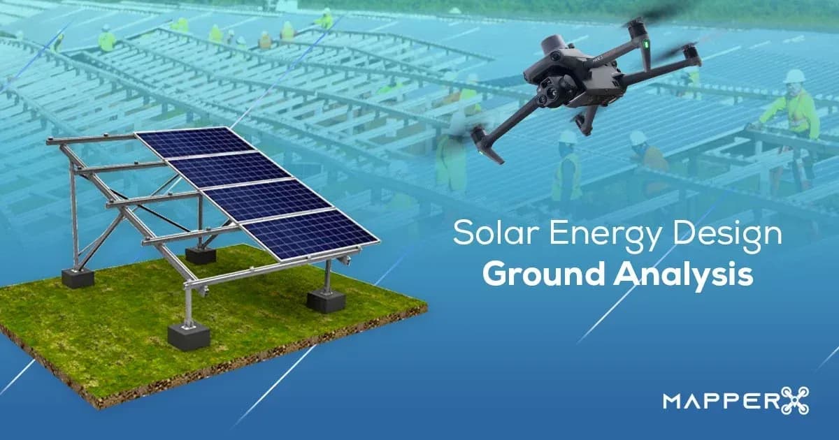
Solar design ground analysis: soil analysis during plant installation assesses soil characteristics and the bearing capacity of the plant area.
What Ground Analysis Covers in Solar Design
Ground analysis for a solar project begins with understanding the physical surface on which the plant will be built. It can include terrain elevation, slope, drainage features, visible ground condition, access routes, vegetation, obstacles, parcel context, and the relationship between these features and the proposed array.
The required level of analysis depends on the design stage. Early feasibility work may only need enough information to exclude obviously unsuitable areas, while detailed design may require much tighter control of elevations, boundaries, road geometry, equipment pads, and foundation positions.
Ground analysis also helps identify where additional investigation is required. An area that appears flat may still contain poor drainage, disturbed ground, buried infrastructure, or unsuitable soil. Surface mapping should therefore guide field work rather than replace it.
The objective is to create a reliable physical reference for design decisions. Module layout, row spacing, access, grading, drainage, and construction planning all depend on understanding the site geometry well enough for the decisions being made.
A ground model is most useful when its accuracy, date, coordinate reference, and limitations are clearly documented.
Survey Methods and Their Accuracy
Ground information can come from conventional surveying, GNSS measurements, total stations, aerial photogrammetry, existing maps, satellite data, or combinations of these methods. Each method has different strengths, limitations, and achievable accuracy under the conditions in which it is used.
Drone photogrammetry can cover large areas and produce orthophotos, point clouds, and elevation models from overlapping images. Its reliability depends on camera quality, flight geometry, image overlap, positioning, ground control, surface texture, vegetation, lighting, and processing.
Ground control points can strengthen positional control when they are accurately surveyed and distributed appropriately across the site. They do not guarantee that every part of the resulting model has identical accuracy, particularly where terrain or image reconstruction is difficult.
Conventional ground survey may be preferable where specific points need higher confidence or where vegetation, repetitive surfaces, steep terrain, or obstructions reduce the quality of aerial reconstruction. The appropriate method should therefore be selected from the required output rather than from a preference for one technology.
Accuracy should always be stated in relation to the survey method and intended use. Data that is adequate for preliminary row planning may not be adequate for final construction setting-out or legal boundary determination.
What Determines the Cost of a Ground Survey
Survey cost depends on the work required to produce the requested dataset rather than on a universal price per hectare or per project. Site area is one factor because larger areas generally require more acquisition, processing, checking, and data management.
Terrain can be equally important. Steep slopes, dense vegetation, water, poor roads, inaccessible sections, or other obstacles can increase the amount of field work and limit where equipment or personnel can operate. A smaller difficult site can therefore require more effort than a larger open field.
Required resolution and accuracy also affect the survey plan. Denser aerial imagery, lower flight heights, additional ground control, more ground measurements, or tighter quality checks can increase acquisition and processing work.
Access and mobilization matter as well. Sites that require long travel, special entry arrangements, multiple launch locations, additional personnel, or coordination with active operations can change the resources required for the survey.
Deliverables influence the scope too. A basic orthophoto, detailed point cloud, terrain model, contour set, asset map, or repeated construction survey involve different levels of processing and review.
For that reason, survey pricing should follow a defined scope: area, terrain, expected accuracy, resolution, control method, required outputs, site constraints, and review requirements. A fixed generic price would ignore most of the factors that determine the actual work.
From Survey Data to a Usable Design
Survey data becomes useful when it is translated into design constraints rather than stored as a map with no clear purpose. The first step is usually to establish reliable boundaries, elevations, visible obstacles, access routes, and areas that should be excluded or reviewed.
Terrain can then be used to assess row orientation, spacing, structure height, grading needs, tracker geometry, or maintenance access. The designer should use the level of accuracy appropriate to the stage of the project and avoid treating preliminary data as final construction geometry.
Drainage features should be incorporated into civil design review. Low points, channels, slopes, roads, and equipment pads can interact with water movement, so layout decisions should not be made solely around module density.
Access also needs to remain part of the design. Construction vehicles, maintenance crews, cleaning equipment, vegetation management, and equipment replacement all require physical routes through or around the array.
The survey should also be checked against other project data. Parcel information, grid infrastructure, geotechnical results, environmental constraints, and electrical equipment locations may reveal conflicts that are not visible in the surface model alone.
A usable design therefore emerges from combining disciplines. The ground survey provides spatial evidence, while civil, structural, electrical, geotechnical, and operational requirements determine what can actually be built.
When a Detailed Geotechnical Investigation Is Required
A surface survey does not describe the engineering behavior of the soil below it. Foundation design can depend on soil type, density, strength, groundwater, rock, fill material, corrosion environment, and how these conditions vary across the site.
Where those properties affect foundation selection or structural design, a geotechnical investigation is a separate technical discipline. The required work may involve field testing, boreholes, sampling, laboratory analysis, or other methods selected by the responsible geotechnical professionals.
Drone imagery cannot determine pile capacity or confirm subsurface conditions simply because it produces an accurate-looking terrain model. Software cannot infer reliable soil properties from surface color or elevation alone where direct investigation is required.
Previous land use can make this distinction especially important. Filled areas, former industrial ground, agricultural modifications, buried drainage, erosion, or localized weak zones may not be obvious from aerial imagery.
Geotechnical findings can also change the solar layout. Areas that are difficult to found, heavily graded, unstable, or affected by groundwater may need different structures or may be excluded from the array.
Ground mapping therefore tells the design team where the site is and how its surface is shaped. Geotechnical investigation determines properties of the ground that the map itself cannot measure.
Common Assumptions That Cause Rework
Incorrect slope assumptions can create significant redesign. A layout prepared from coarse or outdated terrain data may appear workable until detailed survey shows row conflicts, excessive grading, tracker limitations, or difficult maintenance access.
Drainage is another common source of rework. Designing roads, foundations, or equipment pads without understanding existing water paths can require later civil changes when runoff or ponding becomes apparent.
Shading assumptions can also fail when trees, structures, terrain, or neighboring objects are missing from the design model. A single site photograph or low-resolution base map may not capture all relevant obstacles or their actual height.
Parcel and usable-area assumptions deserve the same caution. Visible fence lines may not correspond to legal boundaries, and a nominal land area may include setbacks, drainage corridors, roads, protected features, or terrain that cannot practically carry modules.
Outdated imagery can add another layer of error. Construction, vegetation, land grading, or access routes may have changed since the source data was collected.
Rework is reduced when uncertainty is identified early. If a boundary, slope, drainage feature, or ground condition is not known well enough for the next design decision, it should be verified rather than converted into an undocumented assumption.
Limits
A terrain map, orthophoto, point cloud, or 3D model is a design input. It does not make structural, geotechnical, or electrical decisions by itself.
Every map contains measurement uncertainty. Positioning, ground control, image reconstruction, vegetation, camera geometry, and processing can all affect the result, so derived dimensions should be used only at the accuracy level supported by the survey.
Structural design requires its own calculations and evidence. Wind loads, foundation behavior, member strength, connection design, tracker limits, and other structural questions cannot be resolved from aerial imagery alone.
Electrical design is equally separate. String configuration, cable sizing, voltage drop, protection, earthing, inverter selection, and grid connection require electrical analysis rather than surface mapping.
If thermographic inspection is later used once the plant is operating, IEC 62446-3 addresses outdoor thermographic inspection of operating PV systems, including equipment, environmental conditions, procedure, personnel competence, and reporting. That inspection discipline is different from pre-construction ground analysis and does not turn mapping software into an engineering approval tool.
The correct use of ground analysis is therefore to provide reliable spatial information and expose uncertainty early. Final engineering decisions remain the responsibility of the appropriate technical discipline and the measurements supporting that decision.