
Determination of Solar Power Plant Locations
Solar power plant location determination: installation is more efficient in regions with abundant sunlight and long sunshine hours.
What Makes Land Suitable for a PV Plant
Selecting land for a ground-mounted PV plant requires more than finding an open area with good sunlight. The site must support the physical array, electrical infrastructure, construction access, drainage, maintenance routes, and connection to the wider power system. A parcel that looks clear on satellite imagery can still contain terrain, access, environmental, or grid constraints that materially affect the project.
Solar exposure remains an important input, but it should be assessed together with topography and surrounding obstacles. Trees, buildings, ridges, utility structures, and neighboring development can create shading that changes across the day and year. A single aerial image taken under clear conditions does not provide a complete shading assessment.
The usable area can also be smaller than the legal parcel boundary. Roads, drainage channels, steep sections, protected vegetation, unsuitable ground, setbacks required by the project, and space for inverters or other equipment may reduce the area available for modules.
Site selection is therefore a filtering process. Each stage should remove uncertainty about whether the land can support the intended plant rather than assuming that available acreage alone makes the site suitable.
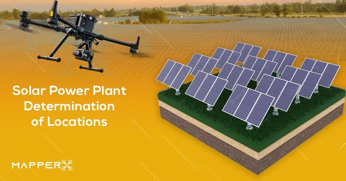
Site Data Collected from the Air
Aerial surveys can provide current information about surface condition, terrain geometry, visible drainage features, access routes, vegetation, buildings, poles, roads, and other objects that may influence layout. Overlapping drone imagery can also support orthophotos, elevation models, and three-dimensional site representations when the acquisition and processing methods are suitable.
Slope information helps identify areas where grading, unusual structure heights, difficult vehicle access, or row-to-row elevation differences may require closer review. Relative elevation can also help designers understand how water might move across the visible surface, although a terrain model alone is not a complete hydrological study.
Existing access is another useful observation. Construction equipment needs routes to the site and through the planned array, while later maintenance requires continued access to modules, inverters, electrical equipment, and vegetation-control areas. A route that appears on an old map may no longer be usable on the ground.
Vegetation and surrounding objects can also be documented from the air. Trees, hedges, structures, and terrain features can be marked for later shading analysis. Surface conditions such as erosion, standing water, disturbed soil, or dense vegetation can identify areas requiring ground verification.
Aerial data provides a useful overview, but anything hidden below the surface remains outside normal optical mapping.
Terrain and Layout Constraints
Terrain directly affects how module rows can be arranged. Slope direction and magnitude influence grading, support geometry, tracker suitability, drainage, row spacing, construction access, and how consistently equipment can be installed across the site.
Irregular terrain can also change shading relationships. A row positioned higher or lower than the neighboring row may behave differently from the same arrangement on flat ground. Layout software should therefore use terrain data that is accurate enough for the stage of design being performed.
Drainage should be considered before roads, equipment pads, and rows are fixed. Blocking an existing water path or concentrating runoff around foundations can create maintenance and erosion problems later. Visible channels and low areas identified from survey data should be treated as design inputs that may require separate civil or hydrological assessment.
The site also needs usable corridors for construction and maintenance. Maximizing module density without leaving practical access can make cleaning, vegetation management, fault investigation, component replacement, or emergency work more difficult.
Boundary accuracy matters as well. A layout based on an approximate image boundary may place equipment outside the controlled parcel or too close to another constraint. Legal and survey boundaries should therefore come from the appropriate authoritative source rather than from visual interpretation of an aerial photograph.
Grid Connection and Access Considerations
A technically suitable field still needs a workable electrical connection. Distance to the connection point, available network capacity, required voltage level, route for electrical infrastructure, and project-specific interconnection requirements can all influence whether the location remains practical.
Aerial imagery can help show visible transmission lines, substations, roads, buildings, and possible cable corridors, but it cannot establish available grid capacity. That requires information from the relevant network operator and the electrical studies applicable to the project.
Cable routing also interacts with terrain and land use. A short straight-line distance may cross difficult ground, waterways, roads, other property, or areas where excavation is impractical. The route should be evaluated as physical infrastructure rather than as a line drawn between two points on a map.
Construction access can be equally important. Modules, structures, transformers, inverters, and other equipment must reach the site, often using vehicles that require more space and stronger roads than routine maintenance traffic.
Long-term access should remain possible after construction is complete. A location that can only be reached under favorable seasonal conditions may introduce operational constraints even if installation is technically possible.
Grid and access questions therefore need to be reviewed early enough to influence site selection, not after the module layout has already been finalized.
Environmental and Land-Use Questions
Existing land use affects whether and how a PV plant can be developed. Agricultural activity, grazing, forestry, industrial use, drainage, nearby residences, ecological features, and other local conditions can influence the available design options.
Vegetation may be both an environmental consideration and an operating constraint. Removing mature vegetation can alter drainage, erosion, habitat, or shading conditions, while leaving certain areas untouched may reduce the usable layout area. These trade-offs depend on the actual site and local requirements.
Local planning, land-use, environmental, construction, and electricity-connection rules should be checked for the project location. Requirements vary by jurisdiction and project type, so a general article cannot state that a particular approval, setback, or process applies universally.
Ownership and land-control information should also be verified independently from aerial mapping. Drone imagery can show fences and apparent field boundaries, but visible occupation is not the same as a legal parcel boundary or ownership record.
Environmental review should therefore be treated as its own part of site development. Aerial surveys can document visible conditions, but they cannot determine all planning, ecological, legal, or land-use obligations.
How Aerial Survey Supports the Decision
Aerial survey is useful because it turns a large site into a spatial dataset that design and operations teams can examine before committing to detailed layout work. Orthophotos, terrain models, access information, visible obstacles, and current land condition can all be reviewed together.
This can help compare candidate areas within the same property. One section may have flatter terrain but poorer access, while another may offer easier construction routes but contain drainage or shading constraints. The aerial dataset allows those differences to be discussed against a common map.
Drone data can also support later design stages. Proposed module rows, roads, inverter locations, drainage features, and service areas can be overlaid on the surveyed site so conflicts are identified before field construction begins.
The usefulness of the survey depends on its acquisition quality. Flight height, image overlap, positioning, ground control, camera characteristics, terrain, and processing choices all influence the reliability of distances and elevations derived from the data.
Aerial survey should therefore reduce uncertainty, not conceal it. Areas with poor imagery, uncertain geometry, heavy vegetation, or inaccessible ground should be marked for follow-up rather than treated as confirmed simply because they appear in a processed map.
Limits of a Desktop or Aerial Assessment
Desktop and aerial studies cannot determine every condition required for a final PV design. Maps, satellite imagery, and drone models describe visible or derived surface information, but they do not establish soil bearing behavior, buried utilities, foundation conditions, subsurface water, or other geotechnical properties.
Position and elevation measurements also contain uncertainty. GNSS quality, ground control, camera calibration, reconstruction errors, terrain, and image quality can all affect the result. A visually detailed map should not automatically be treated as survey-grade evidence for every engineering decision.
Electrical suitability is a separate question. Aerial data does not establish grid capacity, cable sizing, protection settings, earthing design, transformer requirements, or the electrical performance of the proposed system.
Geotechnical investigation is likewise separate from aerial terrain analysis. Boreholes, penetration tests, laboratory work, or other ground investigations may be required depending on the project and foundation concept.
The strongest site-selection process uses aerial assessment to identify opportunities, constraints, and questions that need specialist confirmation. The map is a design input, not a substitute for the civil, geotechnical, legal, environmental, structural, or electrical verification required before construction.